At one time (2012-2014) we offered a free email service of our own that provided the ASCAT images from OSWT, but we discontinued that primarily due to endless spam attacks. But our service always include this note:
"For completeness, we mention there is another way that you can customize this task using the powerful email service of saildocs, which is well known to many cruising sailors, although we guess not many are taking advantage of this powerful feature."
This note is an explanation of that process. First we will need to know what file names cover the regions of interest. These are obtained from the graphic index at http://manati.star.nesdis.noaa.gov/datasets/ASCATData.php.
Go to that map and put your cursor over the region of interest and note the file name in your status bar. There are two index maps, one for ascending passes, the other for descending passes. You will see the file names are very similar.
The world is divided into small Lat-Lon grids of 10º x 15º in size.
Then the process is this:
Send an email like this:
----------------------------
TO: query@saildocs.com
SUBJECT: anything
BODY:
Send https://manati.star.nesdis.noaa.gov/ascat_images/cur_25km_META/zooms/WMBds86.png
---------------------------
Then in a few minutes you will get the graphic image of the winds you want. This will always be the latest data, but the latest may be some hours old depending on latitude and time you ask for it. The trick is to make your own index of the regions you care about and you can ask for several in a row to get what you want.
That is, you would immediately ask for the ascending pass with:
Send https://manati.star.nesdis.noaa.gov/ascat_images/cur_25km_META/zooms/WMBas86.png
The 86 is identifies the region 30N-40N x 75W-60W, and the as vs ds identifies the pass, Ascending or Descending.
The file size for this 25-km resolution will be about 35 kb. The larger overview at 50-km will be about twice as big.
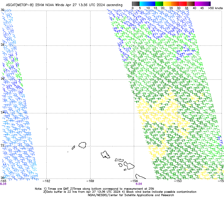
The above sample is for waters around Bermuda. If you want HI waters use
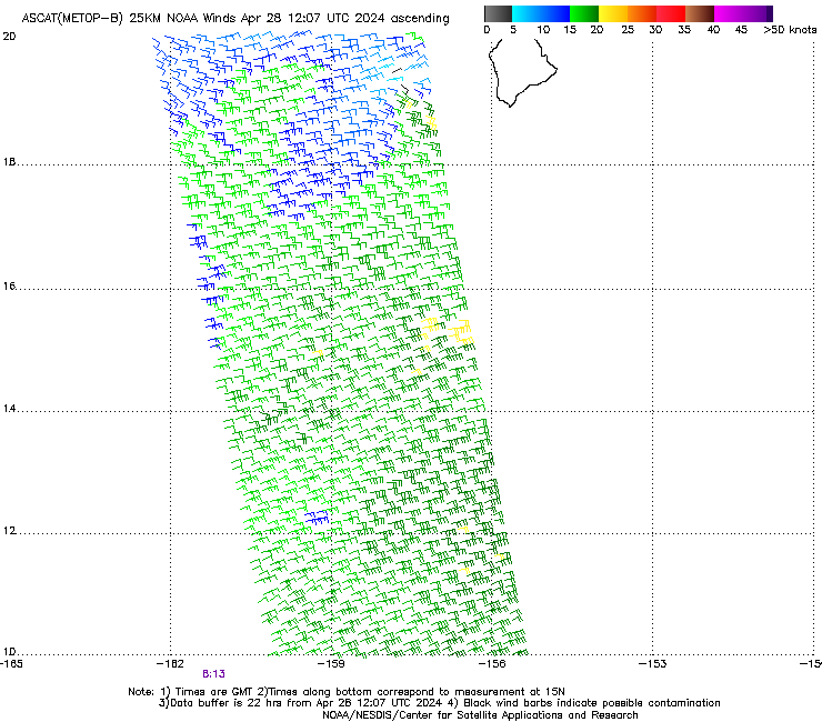
HI North
https://manati.star.nesdis.noaa.gov/ascat_images/cur_25km_METB/zooms/WMBas15.png
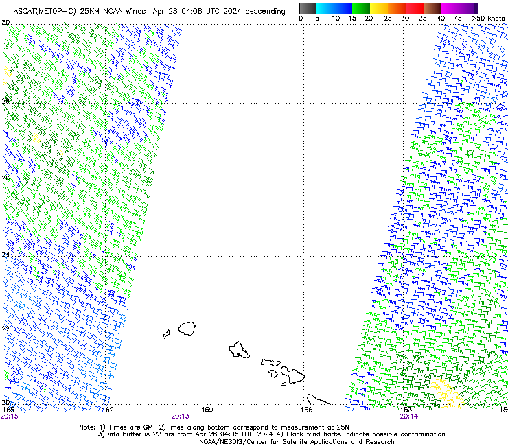
https://manati.star.nesdis.noaa.gov/ascat_images/cur_25km_METC/zooms/WMBds16.png
You can do this with any email access from your boat, or from home. We need to keep track of download fees when underway, which could be tied to file size or air time, depending on your system, SSB or sat phone.
You can do this with any of the scatterometer data fields that are available at the site listed (ASCAT B or C), but for offshore use you need to plan this ahead on some level so you know the file names that will cover your route.
Note added Aug 3, 2018
Our new textbook Modern Marine Weather 3rd ed (July 2018) now includes a graphic index to these image map files, worldwide. With that index in hand, you do not need to go online to discover the file names needed. This technique from 6 years ago, however, still remains valuable, and we give it more emphasis in the text. Previously, it was only presented here.
On the other hand, we can now get ASCAT data in GRIB format, and several viewers are capable of displaying it: LuckGrib (Mac and iOS), Ocens Grib Explorer (PC and iOS), and Expedition (PC). Data sources are covered in our textbook.
To get plots of the tracks online or by email request from saildocs, use this form of URL
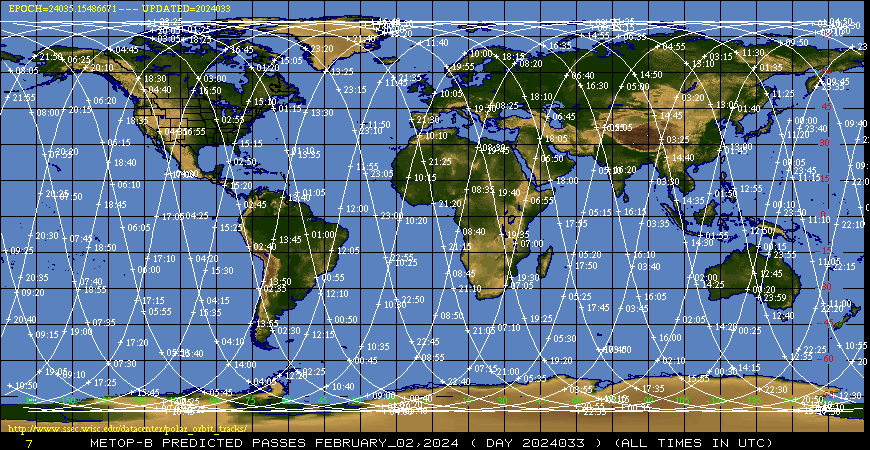
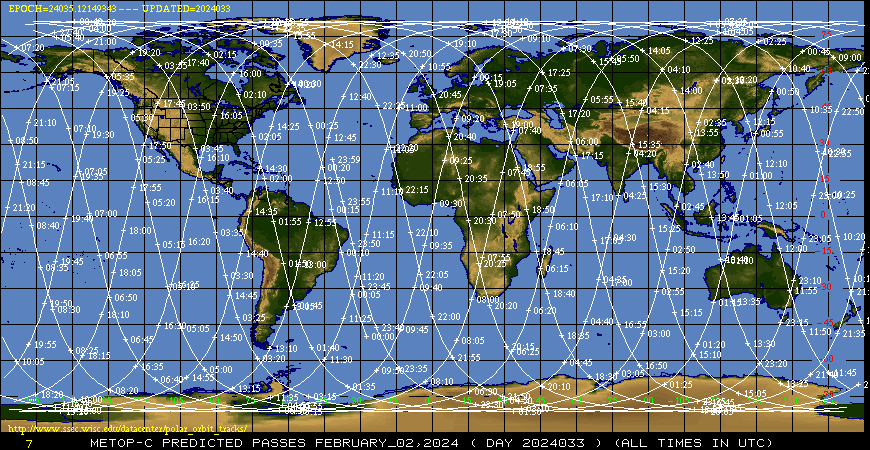
Where these samples are for Feb 2, 2024, which is the 033rd day of the year. This has to be figured or looked up and added. You can get these data for the present date and then 3 days in advance, ie on Jan 30, you can also get Jan 31, Feb 1, and Feb 2
2 comments:
I tried the above for WMBds221 (Indian Ocean) and I received an error
I am sorry we missed your comment. We now get notifications so we hope to not miss more comments.
The ASCAT website changed all their links at some point, so that might have been the issue. We have updated this article with correct ones. Or it could have been a typo in the input. Unfortunately, now two years later we do not know. If other questions come up please post them and we will track it down.
Post a Comment