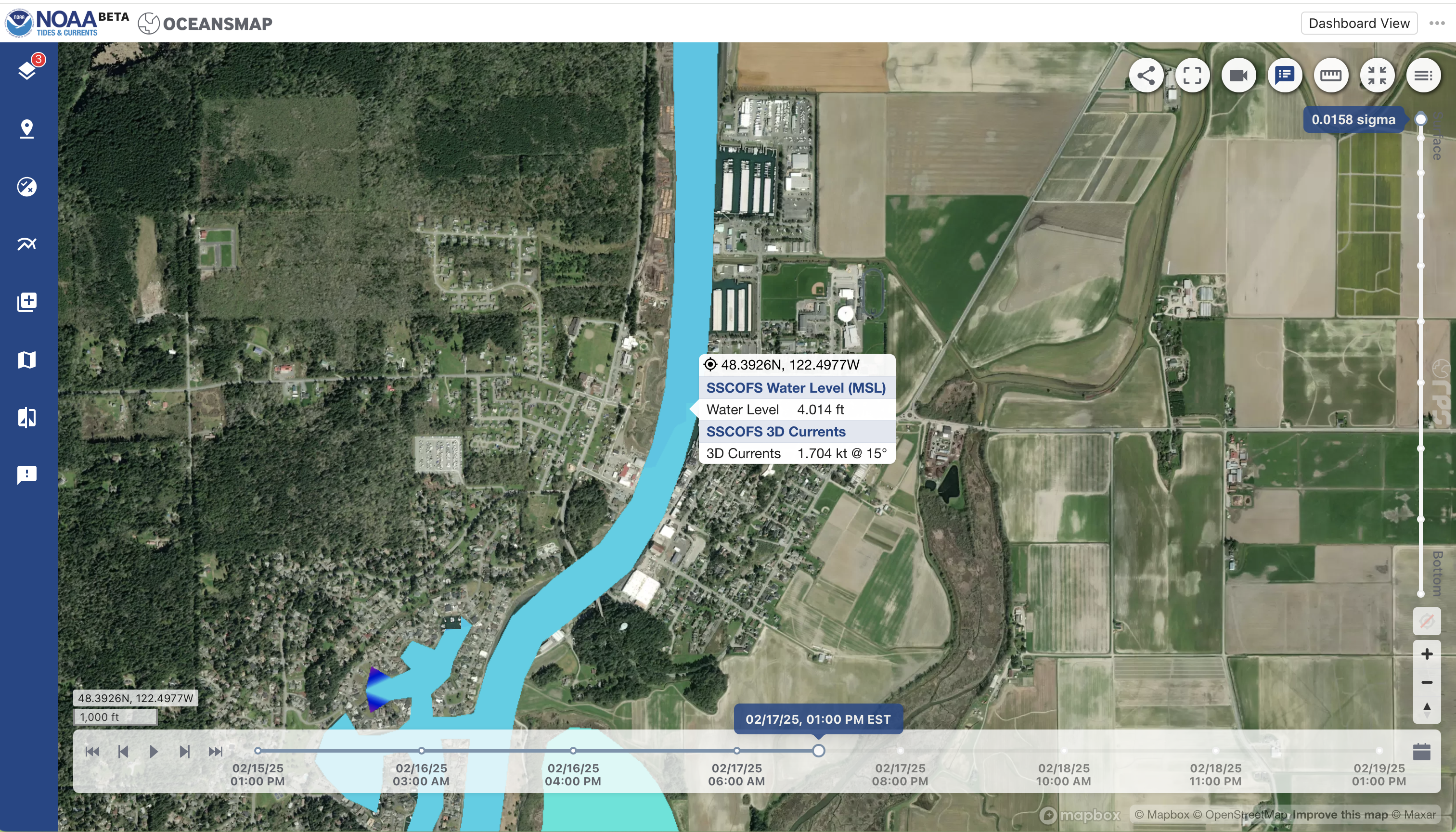
The Operational Forecast System (OFS) model forecasts tide height and tidal currents for 15 locations around the country — a true revolution in modern marine navigation.
What is probably less known, is that we can potentially get the actual water depths for any point on the chart from these same forecasts. These values should match the charted soundings and depth contours—to the extent that they are right, and indeed the OFS model bathymetry data are right as well.
Plus, we have to assume that the logic presented here is valid for extracting this information. So a main reason for this post is to have a way to ask the experts if this is a sound process.
When we then add the tide heights to the digital depths we have the forecasted water depth at any point in space and time, which would be another revolution in marine navigation. The concept of digital water depth has been planned to be part of the future S-100 electronic navigational charts (ENC), but I would like to show here that this is essentially available now.
When one of the OFS forecasts in netCDF format is downloaded from the NOAA AWS server and then opened in Panoply, we see these parameters from the San Francisco Bay model (SFBOFS).

u_eastward and v_northward are the vector components of the tidal current.
zetatomllw is the tide height, which is always relative to (above) MLLW.
But we also have
h, which is the depth of the water below MSL and
zeta, which is the depth of the water above MSL.
(The parameter called Depth is just the number of depth layers where data are provided, which is 21, from 0 to 100 m.)
The diagram below shows how these parameters are related.

There are stand alone programs such as CDO that lets users combine parameters in a netCDF file and make a new file with the new parameters. So we have experimented with the process.
It seems we can get the total water level by just adding h and zeta, since they are both relative to MSL, even though that is not a datum used for this purpose in charting.
To obtain digital values of the soundings at any point on the chart, we need the depth relative to MLLW, not the h values in the native files, which are relative to MSL. The actual charted depths will be deeper than h by the difference between MLLW and MSL.
But we can compute that value, which varies across a chart, because it is just the difference between zetatomllw and zeta, as shown in the diagram. Since in the nautical chart world, MLLW is the sounding datum defining zero tide height, this difference is just the tide height equivalent to MSL, which is a datum that NOAA lists for each of their tidal stations.
It is presented at tidesandcurrents.noaa.gov on each tidal station's home page. Below is a sample from Redwood City, CA.

We can then make a plot of this difference in Panoply and check for what it thinks this value is at each of the locations where the value is known. That plot looks like this:

The places where MSL is known in this area are shown in this figure.

In Panoply you can interrogate a point in a plot to get location and value, which we did at each of these locations. Samples are below.

The results are summarized in this table:

The agreement is good over a fairly large range of values, so it appears that this is a valid way to extract the MSL depth from the OFS data that we can use to compute chart depth from h.
Below is an example of a custom GRIB file made in the manner described and viewed in qtVlm—a popular free nav app for Mac and PC. It shows digitized chart depths in the region of SFBOFS just outside of the Golden Gate Bridge.

This shows the depth in feet, with a color gradient background designed to match the standard depth contours on US ENC. We end up with a display that is similar to an ENC depth area object (DEPARE), but now we have digital values of the soundings any place on the chart. The famous Four Fathom Bank (yellow patch) stands out very nicely.
It will take more testing to be sure this is a productive useful addition to our navigation. We can now display the digital soundings (chart depths) and the digital water depth, which is chart depth + tide height.
It is a promising development, and new use of the OFS forecasts, but it will take some work to test its value.